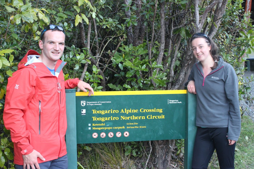
The Tongariro Alpine Crossing forms part of the Tongariro Northern Circuit, one of New Zealand’s famed Great Walks. It passes through Tongariro National Park in the centre of the North Island, starting at Whakapapa at the base of Mt Ruapehu (2,797m), past the base of Mt Ngauruhoe (2,291m) and over the top of Mt Tongariro (1,978m); all three mountains are active volcanoes. Spectacular all year round, we were advised that the crossing was even more special, and a lot less busy, in winter. The only catch is that, since it is a one way trip, and since winter mountaineering equipment and a guide are necessary, it can be an expensive day out ($175 per person when we did it).
When we phoned up on the Friday to book for the Saturday, we were told that if at all possible we should do it on Sunday instead (11th September). That turned out to be exceptional advice, for whereas on the Saturday the only tour group that attempted the crossing had to turn back, Sunday turned out to be, according to our guides, the finest winter crossing they had experienced in five years.
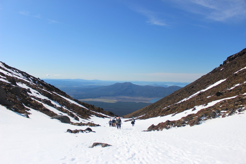
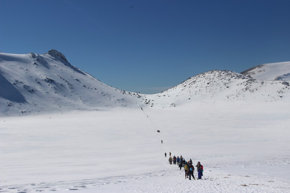
At 7am on Sunday morning we met our tour group at National Park village on the outskirts of the park. We were issued with ice axes, crampons and helmets, and driven up to Whakapapa to start our walk. There were around 30 people in our group, split down into three groups of ten, and not many more than 100 people on the mountain in total (we had been warned that the crossing in summer resembled a motorway).
The first part of the crossing climbs gently and the track was fairly free from snow. As we climbed we were treated to an unusually clear view of Mt Taranaki’s lonely peak; while it is visible from our bedroom window on the farm in Taranaki, it has only rarely been free from cloud in the three months we have been here.
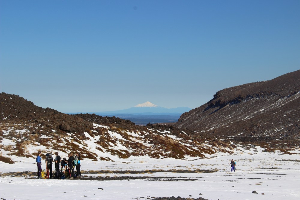
The story goes that Taranaki once lived in the middle of the North Island with all New Zealand’s other volcanoes. Taranaki and Tongariro became rivals for the love of Pihanga, and the resulting feud led Taranaki to flee. He followed the Whanganui River downstream, creating the deep gorge in which the river now sits, and eventually took up residence on the plains of the Taranaki peninsula. Tongariro’s frequent volcanic activity is said to be a warning to Taranaki not to return.
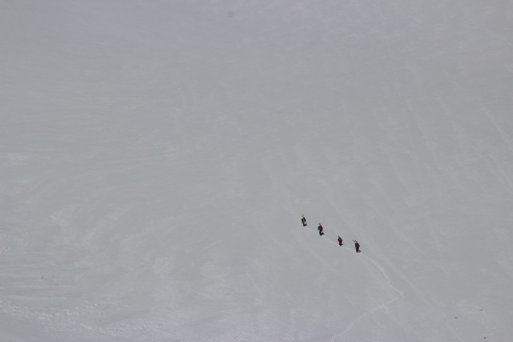
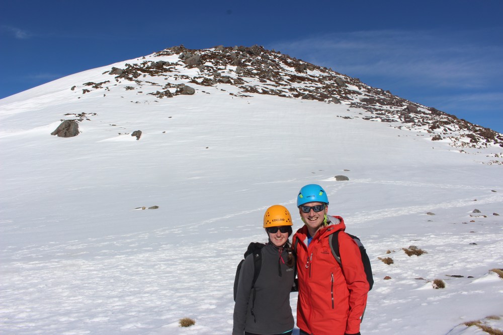
As we climbed it became necessary to don crampons and helmets, and, having undergone a little training, demonstrate that we were able to perform a satisfactory ice axe arrest. We climbed over a saddle and into the South Crater, where we watched four ant-like figures make their slow progress up the steep sides of Mt Ngauruhoe. Unfortunately we had to move on before they were ready to ski down again.
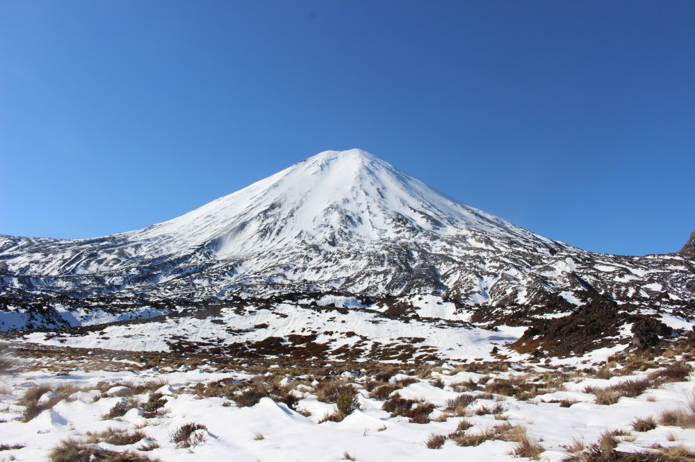
As we climbed out of the South Crater, Lord of the Rings fans were able to see Mordor and Mount Doom – although not at the same time. Mt Ngauruhoe featured in the films as Mount Doom, while other parts of Mordor were shot on Mt Ruapehu and in the Rangipo desert, visible to the east.
We stopped on the ridge of Red Crater for lunch, from where, we are told, one can see the Emerald Lakes – they were looking pretty white when we were there. After lunch we removed our crampons and slid down into, and crossed, the large central crater.
From there a short climb took us to the Blue Lake (another flat, white expanse) and the north crater. Here we were greeted by a glorious view across Mt Pihanga to Lake Taupo, before starting to drop down towards the Ketetahi Hut.
As we climbed down the northern side of Mt Tongariro, plumes of steam reminded us that we were on the side of an active volcano. The Ketetahi Hut is currently closed after a 2012 eruption sent rock flying through the roof and two of the bunks, miraculously hurting noone. The hut used to boast thermal springs to sooth weary trampers, but rising temperatures have made them too dangerous in recent years.


From the hut the track descends into the bush, and winds its way back to the car park. In places signs advise walkers to walk quickly and not stop, as the path goes through lahar (volcanic mud) flow areas.
Finally, after around nine hours of walking, we arrived at the Ketetahi car park, where we were met by a cold beer and a bus to take us back to National Park.
Aided by a generous dollop of good luck where the weather was concerned, we had an excellent day on the crossing. We hope to return to Tongariro to do the whole Northern Circuit in the summer, and it will be interesting to compare the views.
The company we used was called Adventure Outdoors, based in National Park – http://www.adventureoutdoors.co.nz – owner/operator Sarah Cate and her team of experienced guides were extremely helpful.

Awesome post with beautiful photos! Great Sunday reading! Thanks for sharing!
LikeLike