The New Zealand Great Walks can be expensive undertakings. Quite apart from geographical challenges – getting to start points and from end points – the increasing popularity of the walks is pushing up the prices of the Department of Conservation (DOC) huts and campsites.
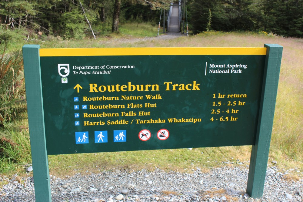
The two ends of the Routeburn Track are 325km apart by road. There are various shuttle bus options, but they are not cheap (in the region of $120 for a round trip). DOC recommends doing it over three days, staying in two of their four fully serviced, $54 per night huts, or their two $18 per night campsites. Already then the walk costs somewhere between $150 and $250 per person. So we cheated.
On 7th February we set of from the Routeburn Shelter, just north of Glenorchy at the top of Lake Wakatipu, and walked up to the Harris Saddle and Conical Hill, the highest point of the track, as a 7 hour return day walk. On the 18th February we did the other side, from The Divide up to the Harris Saddle and back. So we did it twice, technically, and it didn’t cost us a penny.
Having said all that, if time is for you a more limiting constraint than money, I would say that the walk is worth $250 – we are just poor and miserly, and have plenty of time!
Routeburn Shelter to Harris Saddle
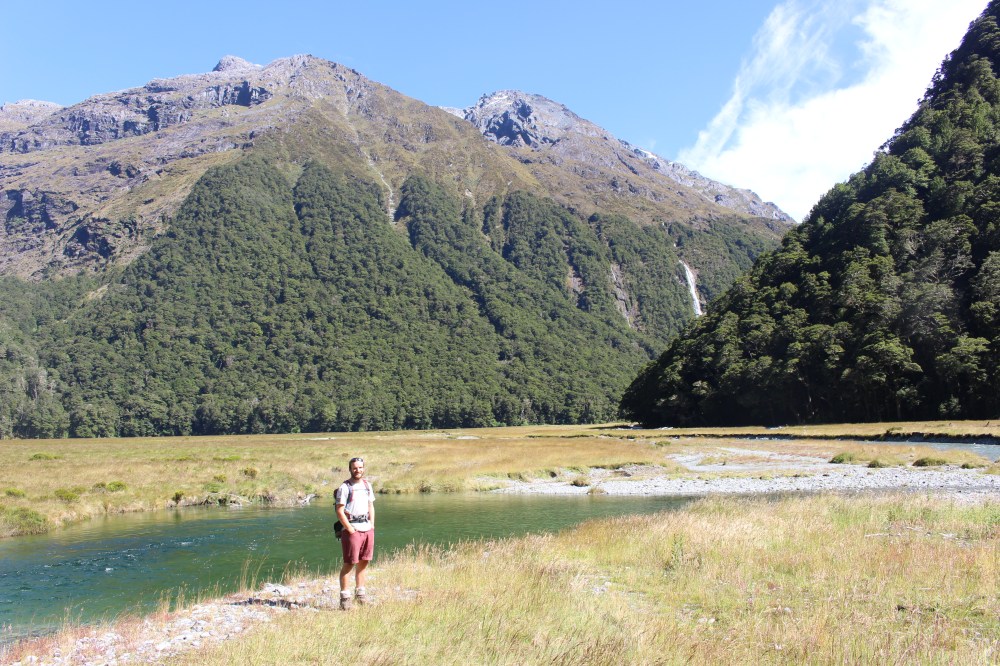
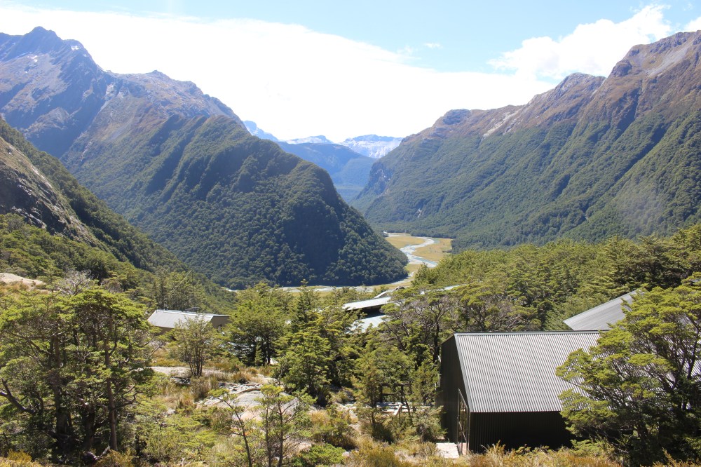
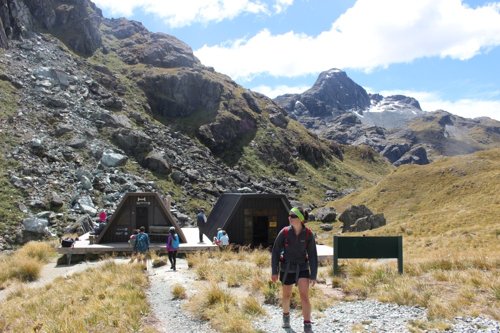
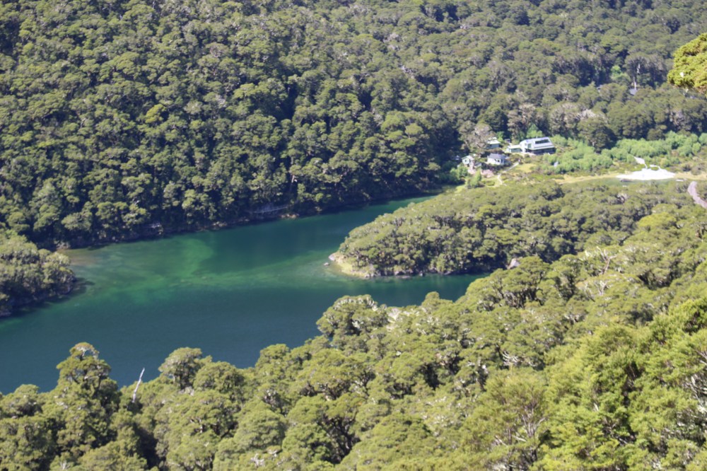
From the Routeburn Shelter, the track climbs gradually through the bush alongside the Route Burn, occasionally emerging to cross the river or a side-creek or waterfall and allow views of the surrounding mountains. After an hour or so you reach the Routeburn Flat, a large flat meadow among the hills. From there the track, always very well made, climbs steeply to the Routeburn Falls and the small city that is the Routeburn Falls Hut complex, tucked just inside the bushline.
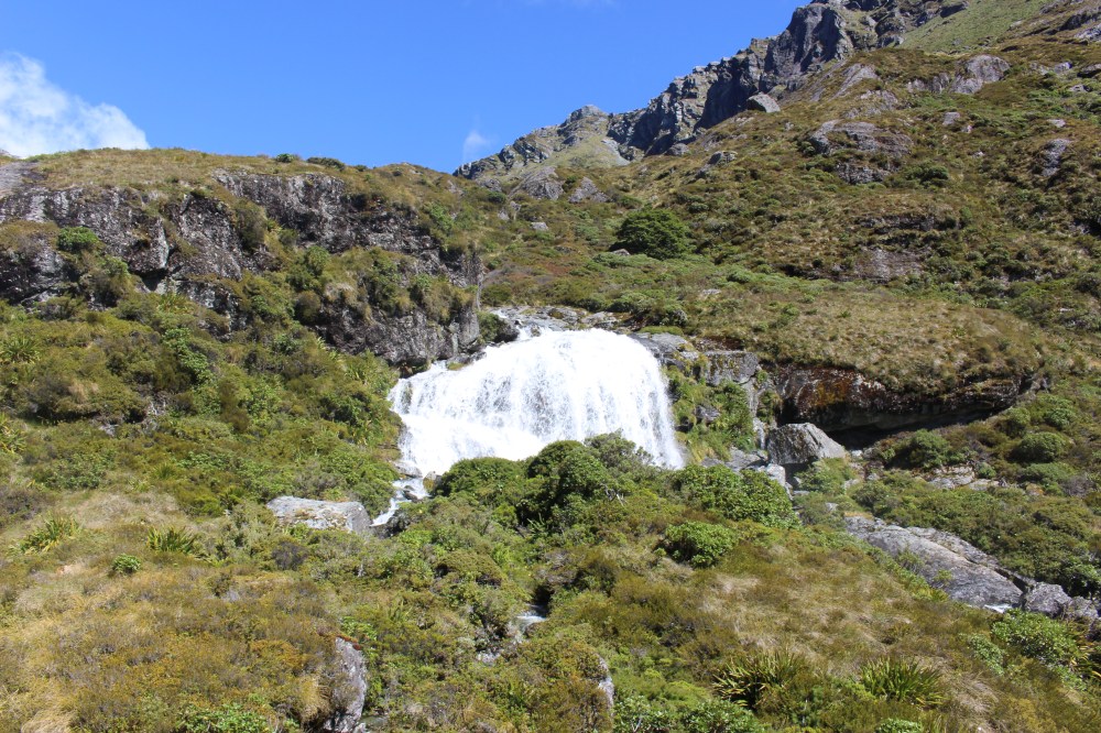
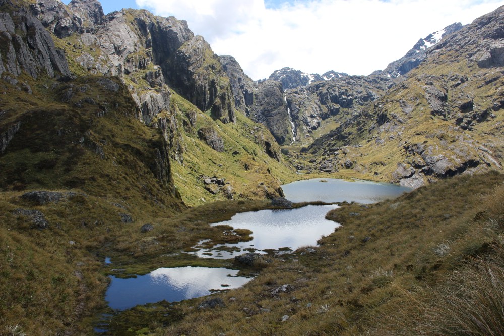
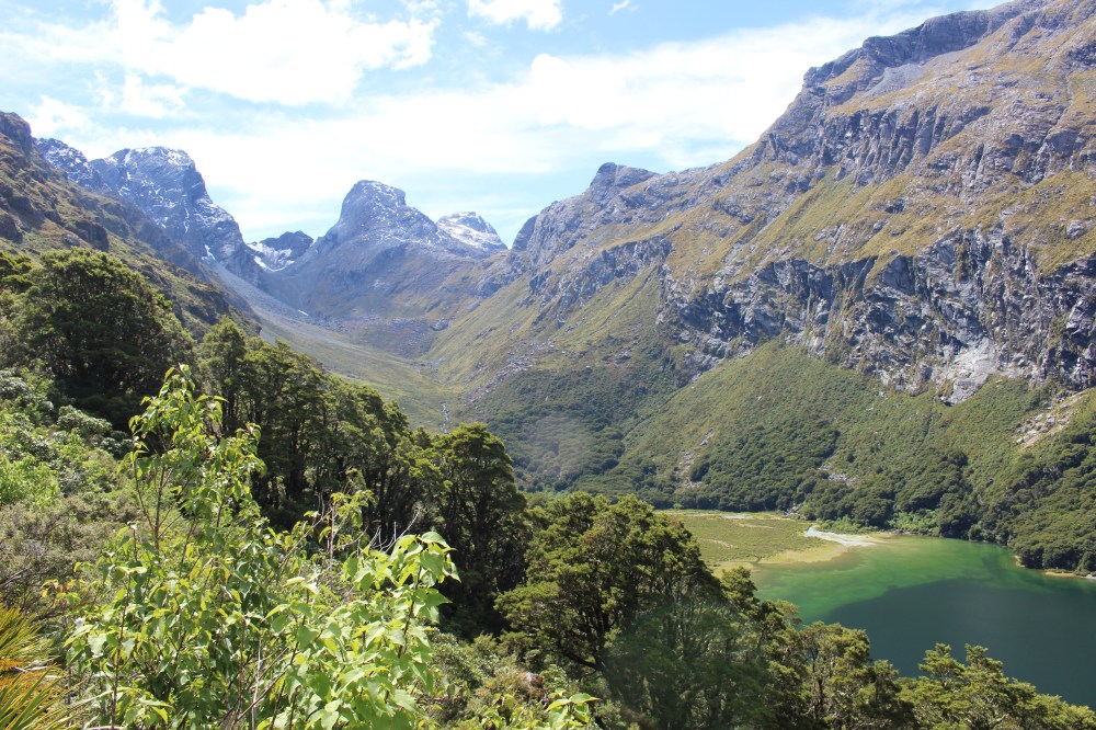
From there, the track continues to climb up the valley, passes through tussocky hillocks under Mt Erebus, via boardwalks over wetlands, skirts around Lake Harris then climbs to the Harris Saddle at 1,255m.

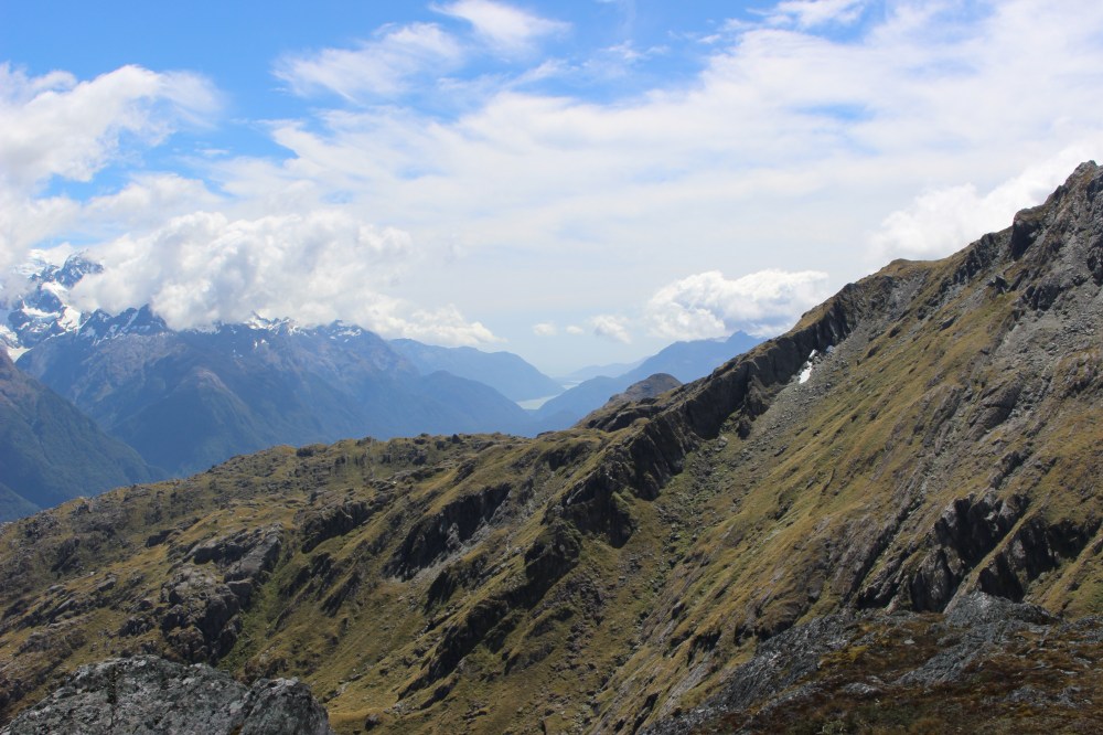
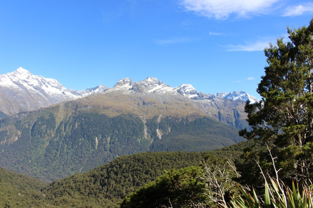
From the Saddle, a 1hr side trip took us up the steep Conical Hill for spectacular views down the Hollyford Valley to the sea.
From there, three hours took us back down to the car park – a roughly seven hour round trip.
The Divide to Harris Saddle
For the second leg of the walk we took a different tack. By that stage we were becoming increasingly concerned by our participation in the rapidly approaching Motatapu Off-road Marathon (which we have since completed, and survived), and our lack of any real training up to that point. We therefore made the fairly rash decision to run the Routeburn.
We set off boldly, full of enthusiasm which we left behind us somewhere on the first hill. We were determined not to be defeated, however, and continued to run as much as we could, reaching Lake Howden Hut after half an hour. We ran straight on, suffering greatly from a phenomenon which all runners will recognise: there is always an old lady at the point at which you were going to give up, looking impressed and thereby forcing you to put on your best ‘this is easy’ face and keep going that bit longer.
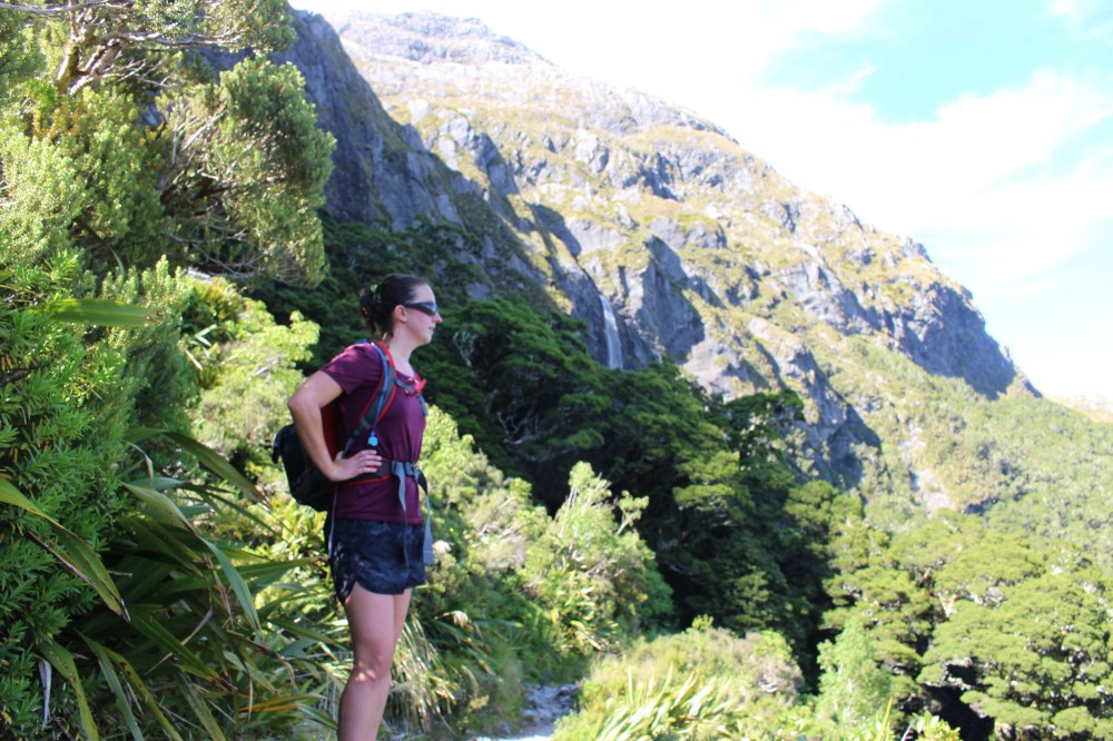
After Lake Howden breaks in the bush repeatedly forced us to stop running, against our will, to appreciate the views of Mt Christina, across the Hollyford Valley, and the Te Anau-Millford Highway crossing The Divide, the lowest East-West pass in the Soutern Alps. After two hours we arrived at Lake Mackenzie Hut, where the sensible half of Team Passepartout stopped for a bite to eat before heading back to the car park via Key Summit, a short side-trip affording spectacular views (I am told).
I kept going, the Harris Saddle drawing me in like a black hole – the closer I got, the less able I was to turn around. I climbed above Lake Mackenzie and onto the Hollyford Face, following the valley down towards the sea in the distance, before a quick climb up to the Harris Saddle. I wolfed down my lunch and started walking back while I digested, before reluctantly breaking into a jog. By the time I reached the turn-off to Key Summit I was too competely bushed to even contemplate it, and got back to the car after six and a half hours to find Gillian patiently waiting, still with full use of her legs.
Washing in the glacial Lake Gunn was the final poor decision of the day, after which it took a couple of beers and a big bowl of curry to get me righted.
The Routeburn was the sixth of the nine Great Walks to be ticked off our list. It is unlikely that we will have time for any of the remaining three, but we feel that it is important to leave a good excuse to return to New Zealand – as if one were needed. Besides, six out of nine is two out of three, which, as a great philosopher once said, ain’t bad.

One Comment Add yours